Gallery » Danzig Report 110 - January, February, March 2001 » Stolzenberg --- Map No. 3
[« Previous]
[Next »]

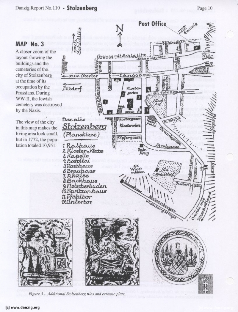
MAP No.3
A closer zoom of the layout showing the buildings and the cemeteries of the city of Stolzenherg at the time of its occupation by the Prussians. During WW-II, the Jewish cemetery was destroyed by the Nazis.
The view of the city in this map makes the living area look small, but in 1772, the popuL ation totaled 10,951.
Danzig Report Vol. 1 - Nr. 110 - January - February - March - 2001, Page 10.
Hits: 3481
Added: 29/07/2015
Copyright: 2025 Danzig.org
[« Previous]
[Next »]

